Applanix POSPac›POSPac MMS

GNSS/INS Direct Georeferencing software for air, land, and marine applications
NEW
Introducing Applanix POSPac 9: Unleash New Possibilities!
Announcing our most recent software update, Applanix POSPac 9! This update is designed to take your mobile mapping projects to new heights. Now with IN-Fusion+ Processing Mode & Tuned LiDAR QC Tools, get ready to unleash new possibilities with our industry-leading software for mobile mapping.
|
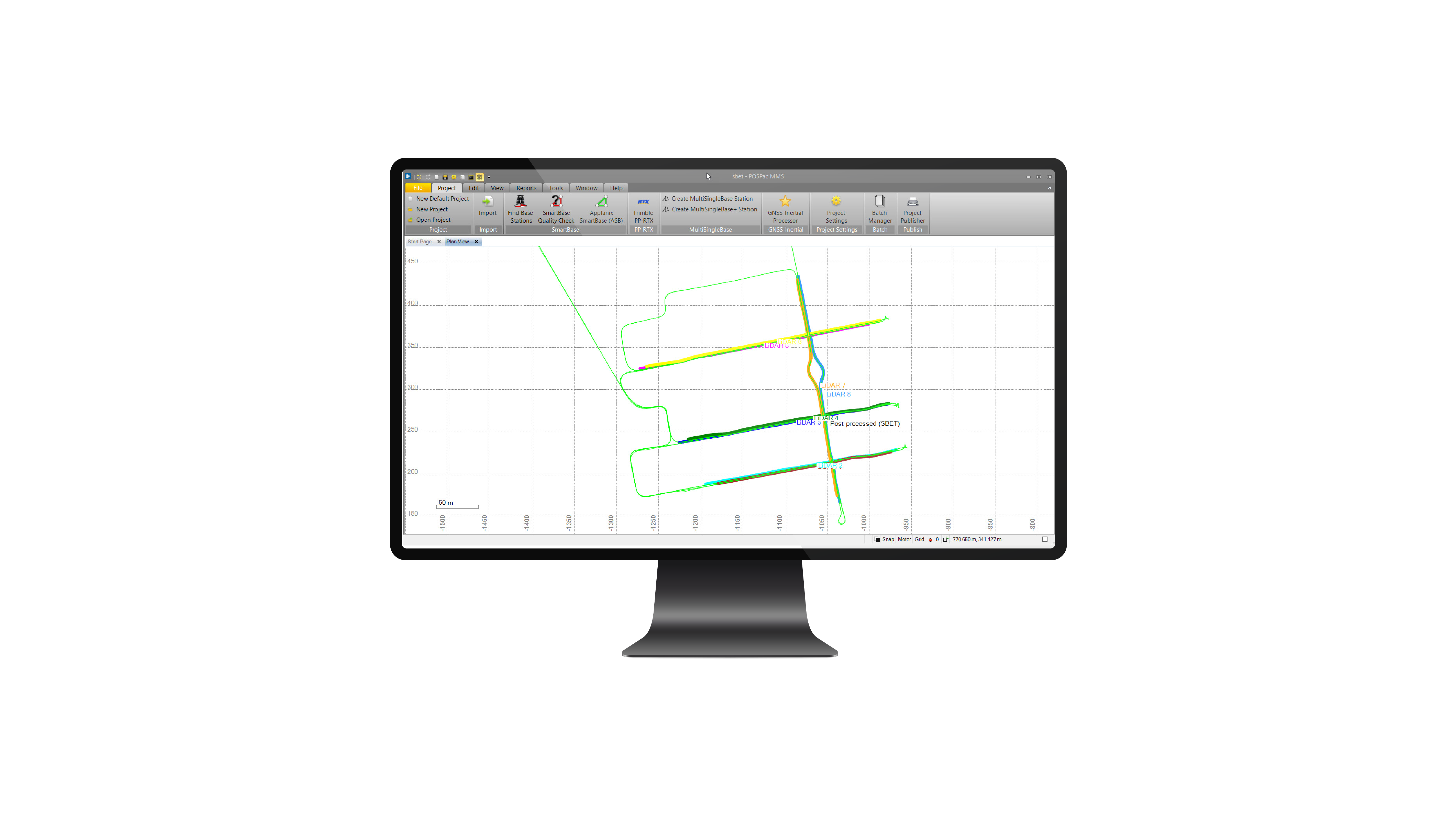
Applanix POSPac MMS® 9
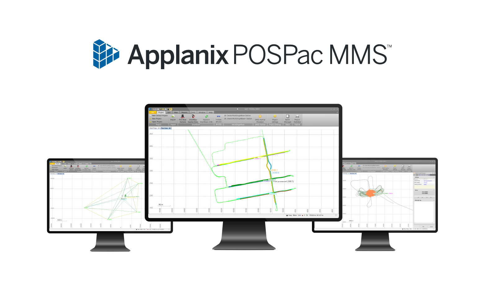
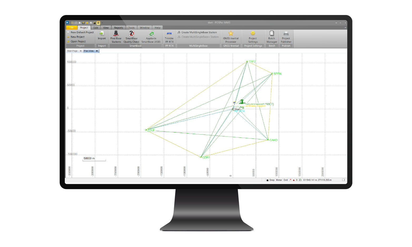
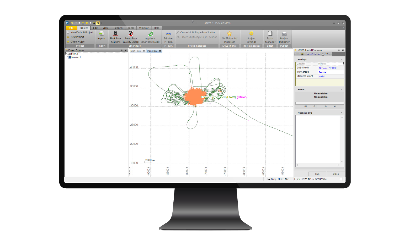
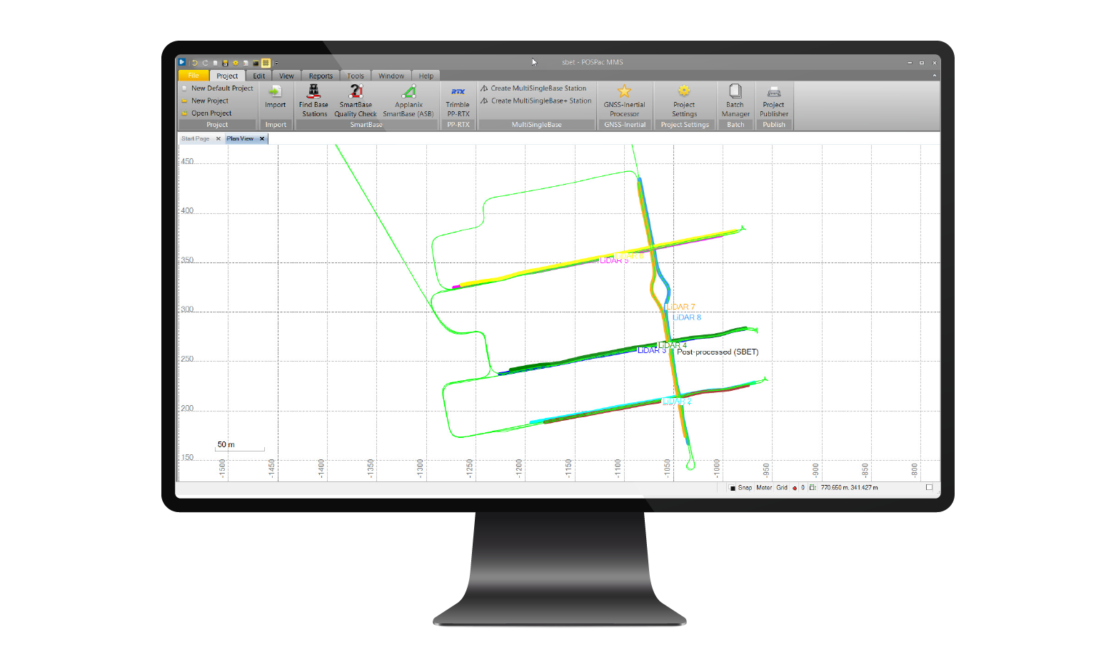
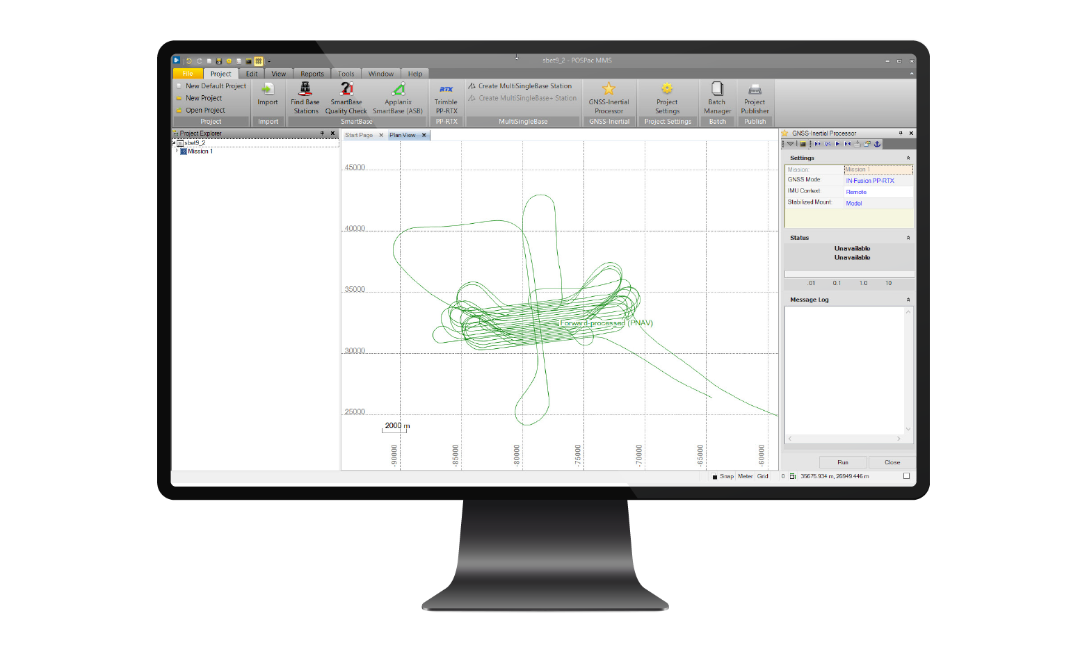
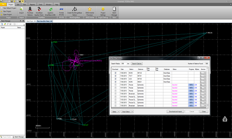
Applanix POSPac® Mobile Mapping Suite, now with Applanix POSPac Trimble Post-Processed CenterPoint® RTX™ (PP-RTX®), is our next generation, industry-leading software for Direct Georeferencing of mobile mapping sensors using GNSS and inertial technology. It is optimized for all environments and platforms (air, land, marine) and compatible with a variety of mapping sensors. This smart software solution achieves both maximum accuracy and maximum efficiency for Direct Georeferencing. Add Applanix POSPac PP-RTX® to your license today!
Applanix IN-Fusion+
When creating spatial intelligence via Mobile Mapping, Navigation, Guidance and Control of Autonomous Vehicles (AVs), Asset or Fleet tracking, or Mobile Remote Sensing, the state-of-the art Applanix IN-Fusion+ technology provides the most robust, accurate, and continuous measurements of spatial knowledge. Our latest white paper explores the many methods of data collection, their advantages and drawbacks, and explains how Applanix technology is able to create the best possible solution across all sensors.
CASE STUDIES »
ARTICLES AND PAPERS »
RELATED PRODUCTS »
|
|
|
Airborne
|
Marine
|
Land
|
Get answers before you buy
We will find the solution for your needs and challenges.
Need support ?
Log in to your account in the support section of the site, or contact your support representative.


