
Services
Real-time CenterPoint RTX
Achieve centimeter level accuracy in real time with Trimble CenterPoint® RTX
NEW
Unlock Real-Time Positioning with Trimble CenterPoint® RTX
Experience a new dimension of accuracy with our hardware's advanced real-time features.
Real-Time CenterPoint® RTX
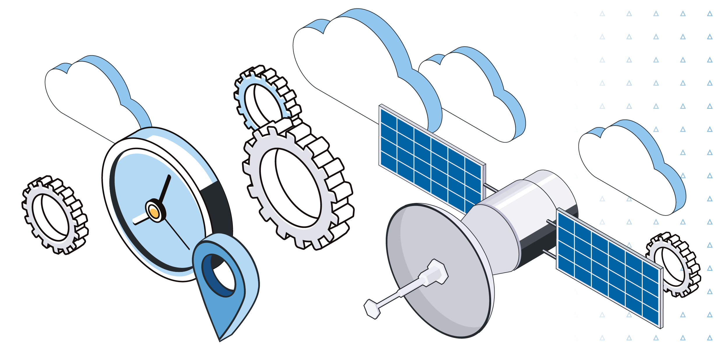
Get ready to redefine your positioning accuracy with Trimble CenterPoint RTX (Real Time eXtended). With cutting-edge proprietary Precise Point Positioning (PPP) technology, our system incorporates a range of groundbreaking techniques that enable centimeter-level real-time positioning accuracy, no matter where you are on or near the earth's surface.
How does it work?
- Receive real-time precise orbit, clock, and other crucial information seamlessly through a satellite or internet connection.
- Benefit from our system's innovative modeling of error sources, including satellite orbit, satellite clock, and atmospheric delays, ensuring unmatched accuracy at your location.
- Leverage state-of-the-art software algorithms on the rover receiver and satellite motion for rapid convergence to an integer carrier phase solution.
- Enjoy swift and precise navigation as a result of these advanced processes.

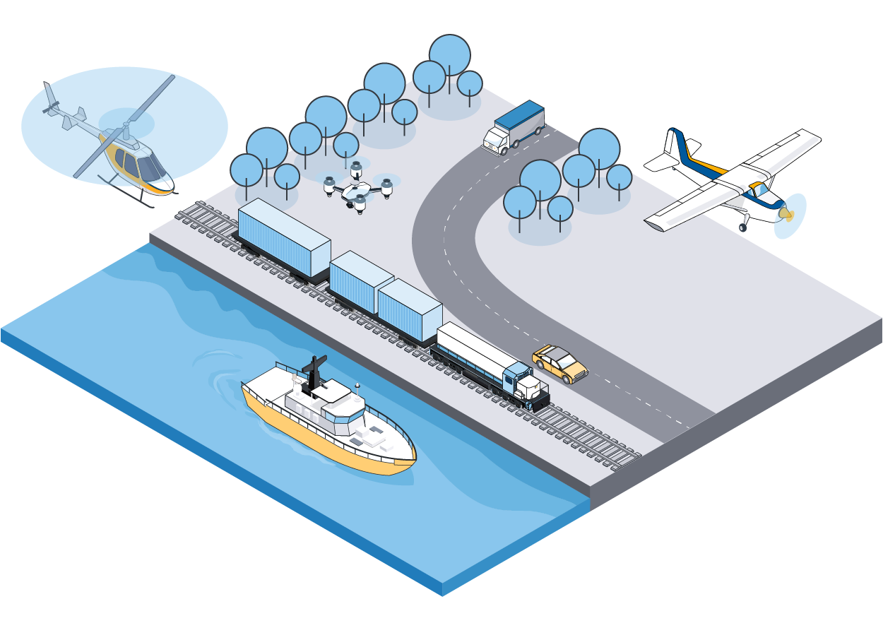
Experience the Real-Time RTX advantage for all applications
Maximize your real-time orientation accuracy with the power of RTX, ensuring unparalleled georeferencing precision.
Resources
About Trimble CenterPoint® RTX™
The Trimble CenterPoint RTX correction service is a high-accuracy, satellite-delivered global positioning service that is available across Applanix's entire product mapping portfolio. As a Trimble Company, Applanix is unique in the marketplace in its ability to offer this industry-leading performance and reliability. The Trimble CenterPoint RTX correction service yearly subscription is delivered by L-Band satellite or by the Internet. This breakthrough technology provides high-accuracy GNSS positioning without the use of traditional reference station-based differential RTK infrastructure. Benefit from more uptime, fast initialization, hardware savings, and more. Learn more on the Trimble Positioning Services website.
RTX Real-Time
Correction data via L-Band Antenna or internet
Fast and accurate direct geo-referencing results in real-time
"Quick Start" convergence
Multi-Satellite Support (e.g. GPS, GLONASS, GALILEO, BEIDOU, QZSS)