Railways & UAV Applications
the need
One of the major challenges facing railway networks is preventing failures in railway tracks. Avoiding potential track malfunctions, by inspecting and verifying its current state of repair as well as the conditions immediately surrounding the track, means inspecting thousands of miles of track, without risk to inspectors or disrupting train traffic schedules.
the challenge
The challenge for collecting detailed information for railway tracks is the high cost of accessing the entire railroad line, identifying areas of repair, and prioritizing them. Traditional methods employ on-track surveys, which are time consuming and involve disruptions to schedules, and are potentially dangerous for individuals that may be completing the inspection process. A non-invasive but sufficiently detailed and positionally accurate method is required.
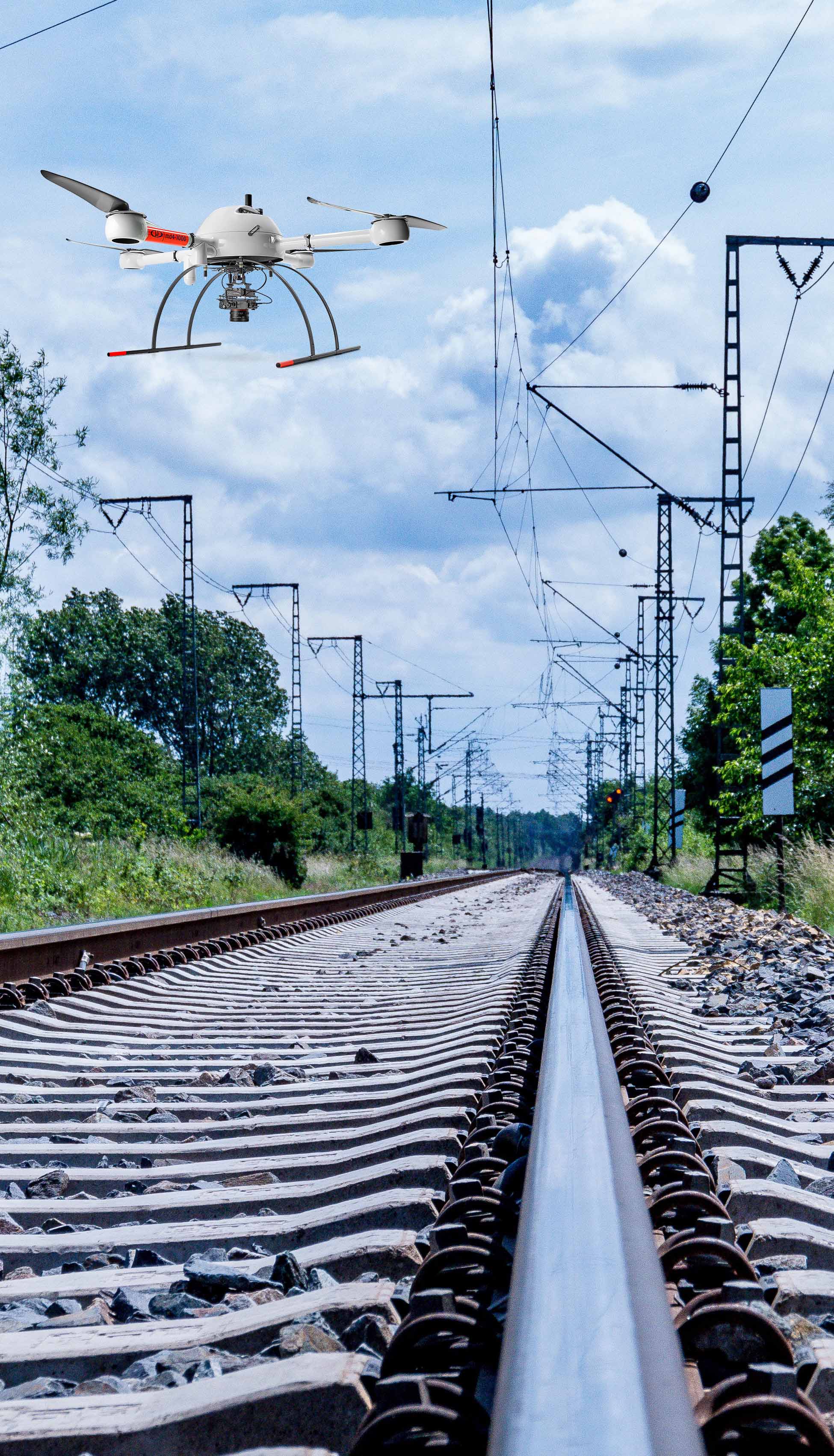
the solution
Employing UAV platforms and collecting high-resolution data from 100MP or larger digital cameras or survey quality LiDAR scanning systems, enables the capture of survey grade information required for most railway applications. Flying low over the track along the rail corridor allows for the extremely high-density detail needed for track analysis. The Trimble APX-15 UAV and APX-20 UAV provides the necessary accuracy without the need to collect ground control points on the tracks for aerial triangulation or LIDAR adjustment.