power transmission & uavs
the need
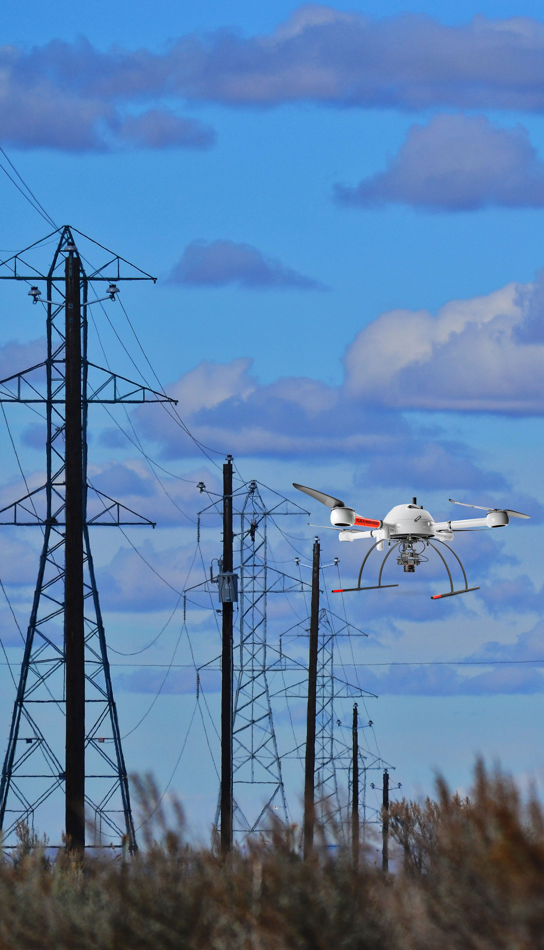
Corridor inspection of assets, such as transmission lines, are often time consuming or are costly. Typically, transmission corridors are inspected for vegetation encroachment, sagging power lines, transmission tower issues, etc. Inspections have traditionally been carried out by walking the corridor, climbing the tower, and/or flying the corridor using a helicopter, which can be costly.
the challenge
The challenge for the transmission industry is to ensure their assets are in-line with specifications and are not threatened by potential tree fall or other hazards. Improving the efficiency of data collection, while reducing costs has been a challenge to the industry. UAVs are starting to play a significant role in these activities, however, the challenge for UAVs in this industry is to provide accurate mapping data - preferably along a single flight line strip. With traditional aerial triangulation methods, this is not possible.
the solution
Using an Trimble APX-15 UAV and Applanix POSPac UAV software for Direct Georeferencing, UAVs can collect data and produce accurate maps and point clouds along a single flight line, providing both time and cost savings. This can be accomplished in a non-invasive manner, flying over transmission lines and beside towers in order to collect the information needed.