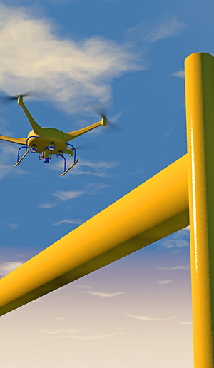
pipelines & uav applications
the need
Companies building and managing pipelines require aerial data for route selection, engineering and construction surveys, and location of existing utilities, in addition to other critical information including "as-built surveys". This information is required to produce topographic maps and models, determine the location of road access, property boundaries, and the location of utilities and facilities.
the challenge
Manned aircraft are typically used for the "big picture" items such as spotting damaged pipeline infrastructure, hazard such as nearby construction, or heavy machinery crossing the pipeline right-of-way, which could cause damage to the pipeline. However, other methods are required for survey grade mapping, leak detection, measuring pipelines, and keeping track of materials.
the solution
Accurate mapping from UAVs using high-resolution cameras, LiDAR scanners, or hyperspectral cameras are effectively providing the needed technology for local area mapping. For example, land surveys for route planning can be completed without the need to send crews into often precarious terrain. UAVs can fly low and slow over pipelines to detect leaks using precision hyperspectral instruments. This is all made possible with the Trimble APX GNSS/INS mapping technology, which allows for the accurate georeferencing of the imagery captured, without the need for aerial triangulation or the collection of ground control points.
