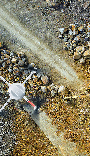
mining & uav applications
the need
The mining and aggregates industry is constantly in need of up-to-date survey-grade mapping information to show both changes in the mine topography and development, as well as to easily measure aggregate volumes.
the challenge
The challenge is to provide regular surveys of the mine site both quickly and cost effectively, as well as to determine aggregate volumes without the need to walk stockpiles. Satellite imagery does not have the required resolution and manned airborne imagery is too expensive to use on an ongoing basis.
the solution
UAVs are able to provide regular site surveys at a reasonable cost, as well as collect the information required to both monitor mine works and perform volume calculations. Employing an RGB camera, as well as a LiDAR equipped scanner with a Trimble APX-15 provides all the information required to perform change analytics, as well as process volume calculations.