RAPID RESPONSE AND MANNED AIRCRAFTS
THE NEED
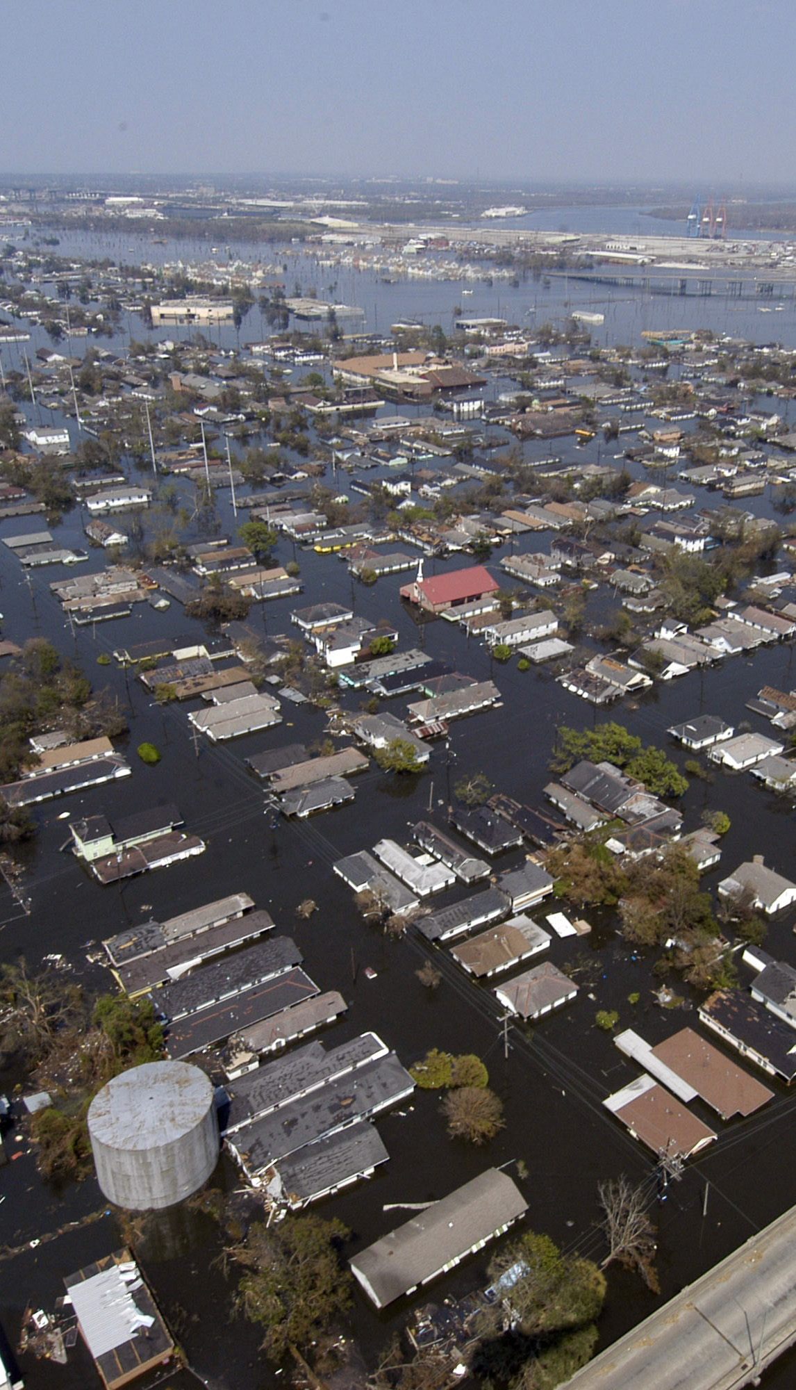
Timely, consistent, and high quality collection of aerial imagery is essential in any emergency situation for informing emergency responders on the precise location of critical areas in need and for directing resources there. When large areas are hit by severe weather events, for example, small aircraft that can fly quickly and for large distances are necessary to map out the total region affected.
THE CHALLENGE
Producing affordable, highly accurate, high-resolution colour and colour-infrared digital orthorectified imagery and mosaics of disaster-affected regions is necessary, even if weather and flying conditions are still bad. The imagery needs to be collected quickly, and images and final map products produced quickly (preferably within 24 hours) so relief can be provided where needed.
THE SOLUTION
By flying small aircraft equipped with Applanix POS technology with an airborne sensor, directly georeferenced data can be delivered quickly and cost effectively. Applanix POS AV is a hardware and software system specifically designed for Direct Georeferencing of airborne sensor data. By integrating precision GNSS with inertial technology, Applanix POS AV enables disaster surveys to be completed efficiently and economically. Supported by Trimble's industry expertise and technological innovation, Applanix POS AV is engineered for aerial cameras, scanning lasers, imaging sensors, synthetic aperture radar, and LiDAR technology.