The evolution of technology is relentless. A few decades ago, what was considered luxury is now a necessity, what was considered unachievable is now routine, and what was considered the future has become the present. This is true for navigation technology as well.
The Why’s and What’s of Navigation
The constant development of newer and better technology for positioning and navigation over the last 25 years has led to many great uses of the technology, including your car GPS for quick access to accurate directions. But GPS reception has its limits, including in tunnels, beside tall buildings, inside buildings, or under extensive cloud cover. GNSS driven positioning and navigation simply doesn’t work where there’s no visual contact to several GNSS satellites.
The Inertial Solution
Inertial technology is a solution for those who look for automated navigation in GNSS-denied environments. Inertial Measurement Units (IMU’s) are generally based on multi-axis combinations of precision gyroscopes, accelerometer, magnetometers, all with a small computer using algorithms to determine location, current direction, and position. Gyroscopes measure the angular velocity, the accelerometers measure the overall acceleration, and magnetometers provide the direction of the magnetic field. By fusing measurements from all three sensors, orientation and linear acceleration can be precisely measured. When IMUs are used with GNSS receivers, accurate position and orientation of the sensor with respect to the Earth can be determined directly.
IMUs, connected to a computer, record the inertial measurements, such as velocity and orientation, that can then be used for identifying positions at different times. This is called Dead Reckoning. During periods of GNSS signal loss, the sensor’s position can be determined by Dead Reckoning.
GNSS Signal Loss Is Worse Now Than Ever
With the growing population worldwide, man is solving its space needs in part by building more passages underground, more high-rises and high-density living arrangements. Because GNSS signal is hindered in closed spaces, another technology is needed to replace it.
IMUs integrated with GNSS provide an accurate, economical, and convenient solution. While the inertial measurements provide short term data, the satellite positioning data corrects the accumulated errors and resets the moving object’s position. With subsequent error corrections, error models are updated to improve accuracy of inertial measurements from IMUs.
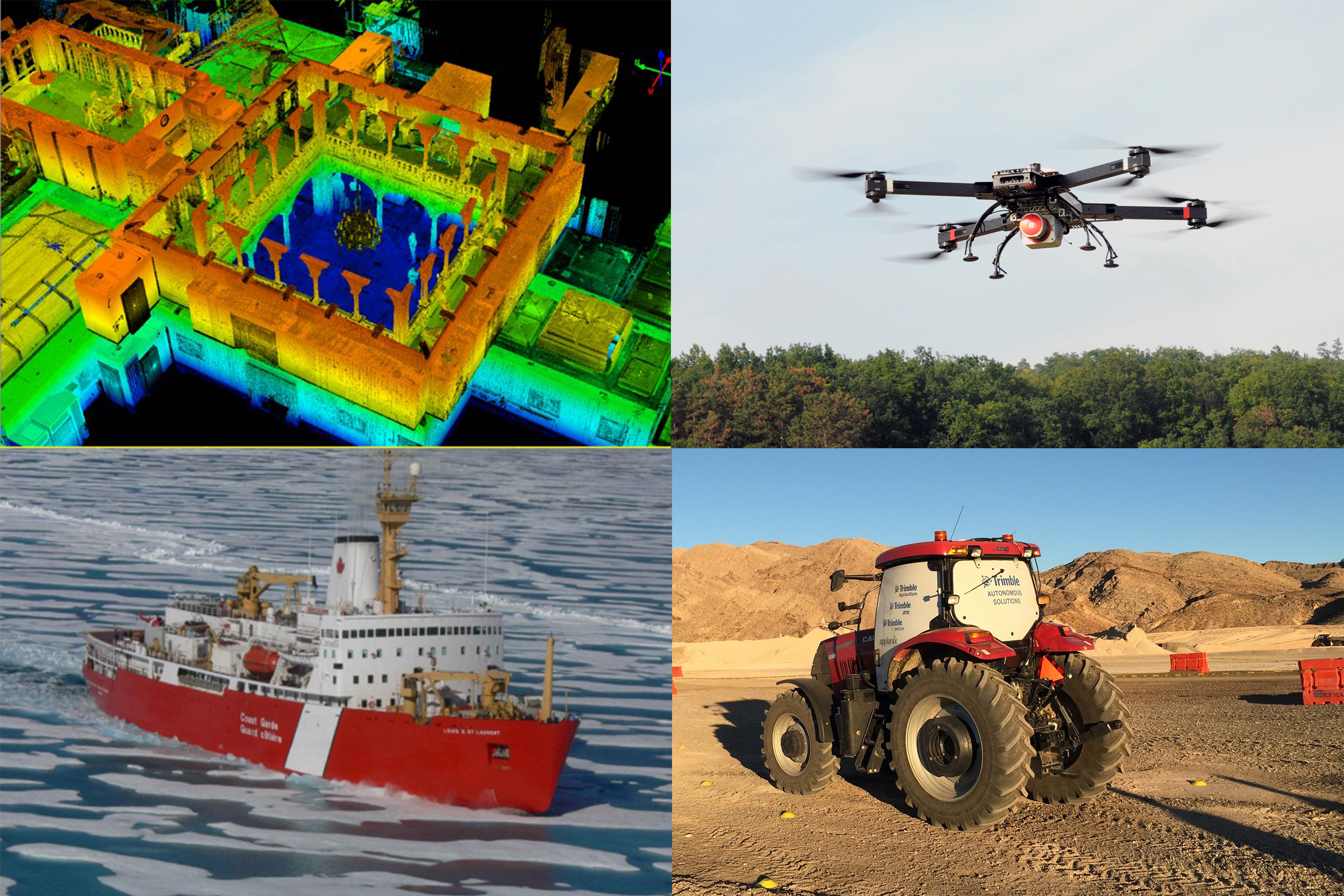
IMUs are Everywhere Now!
Air, land, underwater, wearables, indoors, outer space, everywhere. Applications of IMUs vary and depend on the accuracy they provide - high accuracy inertial measurements are required in survey, marine and airborne survey domains.
 |
 |
 |
The Future
The Global Forecast to 2020, predicts a tremendous increase in the Inertial Measurement System market, with it rising from USD 4.64 billion in 2015 to USD 8.87 billion in 2020 with CAGR of 13.8% during the forecast period. This growth can be accounted for by the increase in the number of aircraft, naval systems, and automated commercial systems. Countries like USA, Japan, China, India and others in Europe and South Asia are the key markets for this technology. Clearly Applanix is a top player in this domain and well poised to be benefiting from this market growth.
The Pioneer:
Applanix is the industry leader in providing inertially aided GNSS systems for various uses and they have set the standard for positioning and orientation systems. Applanix’ POS products integrate precision satellite data with data from advanced inertial technology for the purpose of obtaining uninterrupted measurements of position, roll, pitch and true heading information of moving vehicles.