rapid response and UAVs
the need
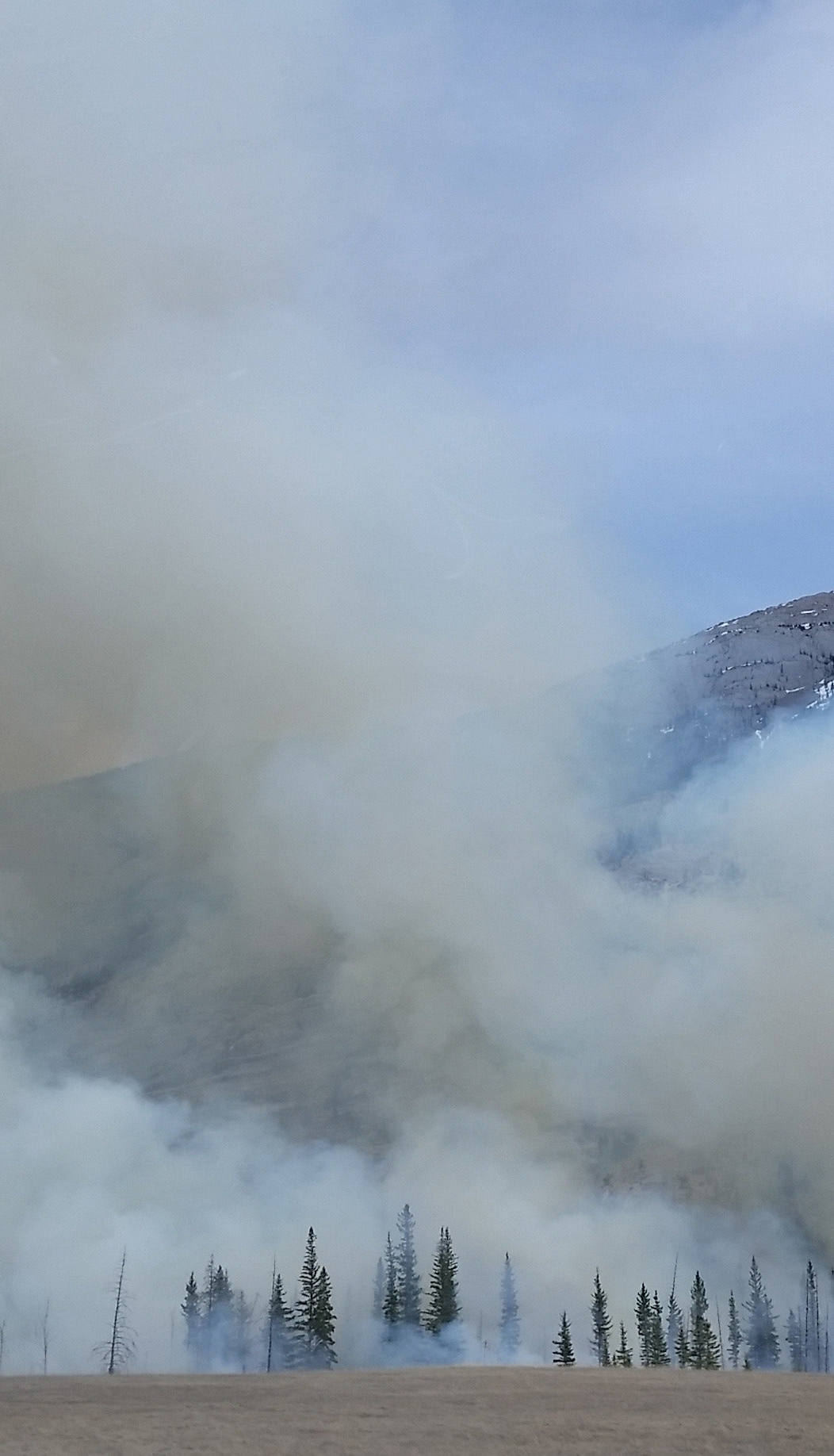
Emergencies, due to natural disasters or simply unforeseen catastrophic events, often require immediate action from emergency response crews in order to save lives and protect property. This requires an accurate picture (i.e. situational awareness) of what has happened or is happening on the ground, in the area or areas impacted by the event.
the challenge
To collect a picture of the situation after an event such as an earthquake, landslide, or wildfire, often requires the need to put first responders in harm’s way in order to assess the damage and plan a tactical response. Often there is the need to know what existed in the area prior to the event, and precisely where and how things have changed on the ground since the event took place. The challenge is to generate an accurate reconnaissance map of the current situation that can be superimposed on a map containing what had previously existed.
the solution
Using a UAV specifically designed for mapping missions—one that can accurately collect imagery and geographically position the imagery without the need to collect ground control points—would allow for an accurate and clear map of the situation on the ground to be produced, without the need to immediately enter the area impacted. The Trimble APX-15 GNSS/INS board set with POSPac software, working in parallel with a UAV and sensor system, can provide the accurate mapping required, efficiently, independently, and in a time-effective manner, without placing first responders in a potentially dangerous area.