indoor mapping
the need
Building management activities (leasing, maintenance, repair, remodeling, expansion) and emergency response activities (entering and moving about unknown buildings to render assistance), require accurate maps and/or 3D building models of building interiors. Many existing structures, however, have no accurate blueprints, maps or 3D models at all.
the challenge
Creating accurate 3D building models or 2D maps of building interiors quickly, cost-effectively, and without disrupting the buildings operations is required. Traditional static scans cannot do this as they are costly, time consuming and disruptive. Mobile mapping is required.
the solution
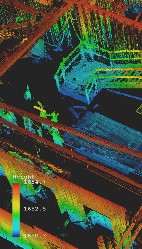
The Trimble Indoor Mobile Mapping System (TIMMS) produces accurate maps and 3D building models of indoor spaces quickly (greater than 250,000sq ft per day) and without interrupting the building’s normal operations in any way. Even bustling airports have now been mapped and modeled this way. By integrating active and passive sensors and full workflow, a true indoor GIS - a system designed to capture, store, manipulate, analyze, manage, and present all types of spatial or geographical data - is created. TIMMS acquires Lidar point cloud and 360° photo imagery, directly georeferenced with no need for ground control.
Read about of how Trimble Applanix and x-Spatial mapped the inside areas of a busy airport - without any disruptions to operations here.