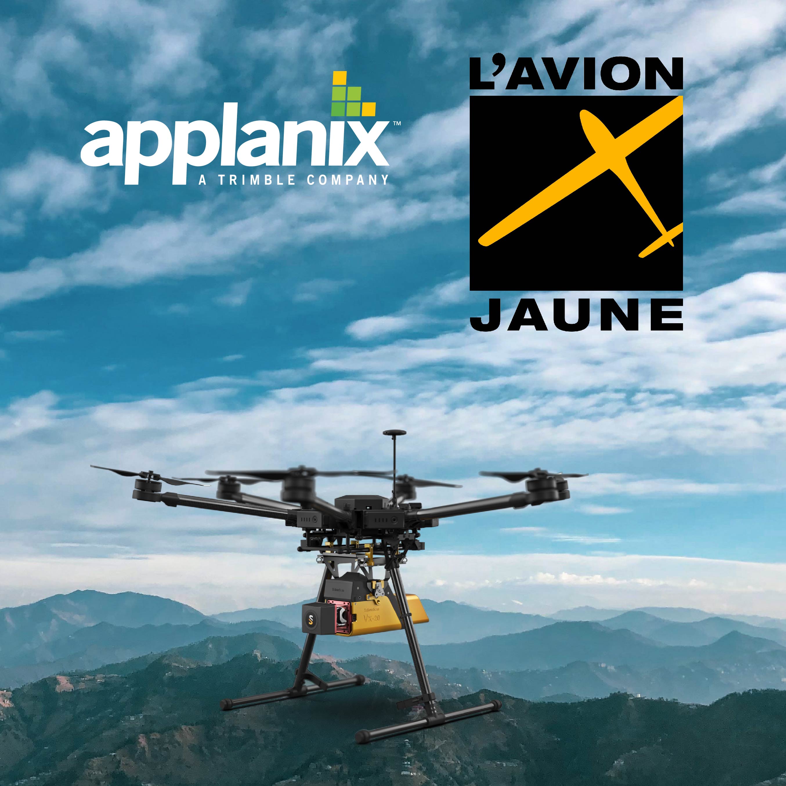
Trimble Applanix and Yellowscan Deliver to L’Avion Jaune a High-accuracy UAV Solution for Landslide Detection
The M600/YellowScan VX-20 with Trimble APX-20 UAV for Direct Georeferencing is ideal for fast and safe landslide detection.
It produces cost-effective and reliable high-resolution UAV LiDAR derived DTMs and 3D models for hazard mitigation and planning. Also ideal for repeat monitoring of sites due to efficiencies and convenience of use.
OVERVIEW
L’Avion Jaune is an expert in drone design, airborne data acquisition and processing. The company has been at the forefront of environmental survey in France, pioneering the use of fully Direct Georeferenced UAV LiDAR to map geohazards. The M600/VX-20 offers high-precision, cost-effective and efficient aerial mapping.
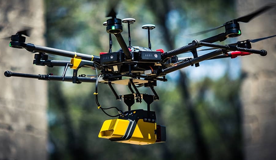
L'Avion Jaune Multirotor M600 drone
CHALLENGE
The natural degradation of limestone cliffs generates landslides and falling debris, threatening the land, roads and people beneath.
Without the ability to map and accurately assess the stability of these land formations, the management of this risk currently relies primarily on trajectory analysis. This consists of simulating falling rock masses from ridges to the valley floor, using calculations that consider the size, energy and shape of the material. While this allows for some risk assessment, detailed and correct maps based on high-resolution UAV LiDAR DTM, and integrity analysis is required for complete risk analysis.
SOLUTION
The configuration and the hazardous nature of the terrain do not allow for crews to operate traditional survey equipment on the ground. Using a UAV LiDAR system enables: rapid generation of cost-effective, accurate DTM and 3D products, safe operation, ability to access unreachable areas, and perform repeat monitoring.
As a result, L’Avion Jaune used the Multirotor M600 equipped with the YellowScan VX-20 and Applanix APX-20 UAV. It was deployed to evaluate landslide activity using LiDAR.
Mission parameters included the following:
- High point density
- Precision in X, Y, Z of 5 cm
- Access to dangerous zones
- Map generation under dense vegetation area
- Fast deployment
Mission and acquisition:
- Flight numbers: 4
- Surface area: 75 hectares
- Total duration: 6 hours (flights, quality control, making DGPS points)
- Flight speed: 5 m/s
- Flight height: 60 m following the topography
 (2021_06_04 13_50_06 UTC).png)
Trimble APX-20 UAV
Four flights of fifteen minutes each were required to map the entire project area. This operation was carried out at sunrise when the road had little traffic. Checkpoints were then surveyed with differential GPS. The data processing involved computation of georeferenced trajectory, matching flight lines, and point cloud classification took about two days.
RESULTS
This allowed L’Avion Jaune to optimize the choice of material and work with best practices to collect and process LiDAR data required for high-accuracy mapping in dense vegetation. The flexible UAV deployment of resources allowed the acquisition of dense point clouds (100 pts / m²) and the generation of a precise and exhaustive DTM in under three days.
This collaboration of L’Avion Jaune, YellowScan, and Applanix, will allow for the implementation of safety and prevention plans for the protection of traffic, pedestrians, infrastructure, and wildlife.
“The generation of a 3D model of cliffs, overhanging a frequented road was essential for the safety of traffic and people below. The site footprint modelled by the YellowScan VX-20 with Applanix DG inside was 200m high, 300 m wide and 2.5 km long, to a high-precision without exposing crews to danger,” says Benjamin Pradel, Aerial Survey Project Manager, L’Avion Jaune.
About APPLANIX
A Trimble (TRMB on NASDAQ) company since 2003, our Position and Orientation Systems (POS®) have become the world’s industry-standard for airborne, land, marine, and indoor mobile survey operations. With global reach, unequalled engineering excellence, and worldwide 24/7 customer support, Applanix leads the world in high-productivity in-motion surveying, direct data georeferencing, and robust mobile mapping. Applanix POS technology is now powering new revolutions in both autonomous vehicle technology and mobile mapping in GNSS-denied spaces.
About L’AVION JAUNE
Since 2005, L’Avion Jaune has performed more than 600 successful missions worldwide. L’Avion Jaune pursues mapping activities, mainly with crewed aircraft, and is now developing high-endurance drones for long-distance applications, such as marine, tropical forests and polar regions. As a new actuality, since 2020, L’Avion Jaune is reselling the first European VTOL drone, The Trinity F90+ by Quantum System in France and some African territories.