Small Unmanned Aerial Systems (sUAS)
For the past several years, small unmanned aerial systems for precision agriculture have been hailed widely as one of the fastest growing application areas for geospatial technologies. In the long run, that is likely to be true.
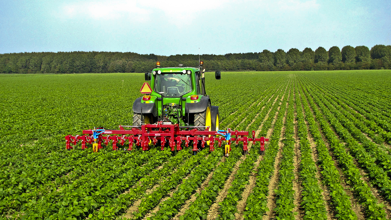
Precision Agriculture
Precision agriculture is a farming management concept based on observing, measuring, and responding to inter- and intra-field variability in soil and crop characteristics. It uses this detailed, site-specific information to manage the production inputs—namely water, nitrogen, pesticides, and herbicides—by using variable rate technology (VRT) guided by GPS receivers and digital maps. The promise of precision agriculture has been to increase yields and profits while decreasing costs and deadly runoff.
Multispectral imaging sensors
sUAS with multispectral imaging sensors have been promoted by everyone from growers to co-ops, agronomists to seed companies and research institutes as a fast and economical way to produce prescription maps for precision agriculture. Three years ago, precision agriculture was one of the first four applications for which FAA permissions were requested to fly sUAS commercially—the other three being filmmaking, power line and pipeline inspections, and oil and gas flare stack inspections.
On the ground, precision agriculture has been enabled by such technologies as crop yield monitors mounted on GPS-equipped farm machinery, VRT seeders and sprayers, and an array of real-time vehicle-mountable sensors that measure everything from chlorophyll levels to plant water status. From the air, multi- and hyper-spectral aerial and satellite imagery have enabled the mapping of Normalized Difference Vegetation Index (NDVI), which is highly correlated with yields at certain crop growth stages.
Benefits of Remote Sensing for Precision Agriculture
The main goal of any remote sensing for precision agriculture is to detect problems—such as insufficient irrigation or drainage, plant disease, and crop damage—in time to correct them. Unlike satellite- and aircraft-based imagery, UAS can provide remote sensing data in near real time in the field. Additionally, they can be flown with different sensors that can be configured to detect pests, plant diseases, weeds, irrigation efficiency, and soil erosion.
sUAS are great for
- mapping individual fields or segments (there are applications that automate the process of creating orthophotos from aerial imagery), assessing crop vigor, and creating prescription maps
- crop scouting, minimizing the need for lengthy drives to find problem areas
- irrigation inspection
- precision spraying of small areas, and
- investigating insurance claims of weather damage and monitoring loss over time.
Despite the clear benefits of sUAS, however, farmers have been slow to adopt them due to:
- low commodity prices, which have reduced the capital available to invest in efficiency improvements
- the slow adoption rate of VRT, often seen as expensive and complex
- current FAA rules for sUAS, which require that they be operated within visual line of site (VLOS), while most fields and farms are much too large for VLOS, and
- uncertainty about the cost or usability benefit of sUAS compared to the image solutions already available to them from manned aircraft and satellites.
The Future
Plant height, as measured from image point clouds, may be a better indicator of plant health and more important for pest detection and field management than NDVI. Therefore, a key to the success of sUAS in precision agriculture may be a further reduction in the weight of lidar sensors that can be deployed on them and, consequently, an increase in their flight range. Additionally, farmers need more expert help to interpret the data, verify it against what is actually happening in the field (aka “ground truthing”), and devise a course of action. Ultimately, farmers do not need raw data, regardless of the platform used to collect it. They need actionable information.