More recently, there has been a lot of discussion in the marketplace about Post Processed Kinematic (PPK) solutions and how such technologies enable mapping from Unmanned Aerial Systems (UAS), or drones/UAVs, to be more efficient. Then there are articles synonymously using the terms DG and PPK, creating confusion and misconception amongst the UAS audience. In fact, the two georeferencing techniques are very distinct.
Direct Georeferencing vs. Post Processed Kinematic
Direct Georeferencing (DG), as the name suggests is the ability to directly geolocate sensor data from the air to the ground with respect to a reference coordinate system. DG at its core combines GNSS and Inertial technology to produce a robust position and orientation solution. This obviously has natural advantages over PPK, which is a position-only solution.
Firstly, DG is a precursor for georeferencing Light Detection and Ranging (LiDAR) and Hyperspectral sensors. Since PPK only provides half the solution, it cannot be used in conjunction with LiDAR or hyperspectral technology, period!
Secondly, efficient photogrammetry requires the use of DG technology since PPK only provides the position of the antenna phase center which needs to be translated to the sensor origin. If the sensor is installed on a stabilized mount, which has now become the norm, the dynamic offsets between the GNSS antenna and sensor origin need to be modeled as part of the photogrammetric solution. In the case of DG, the GNSS solution from the antenna phase center is precisely translated to the sensor origin. Additionally, if the sensor is mounted on a stabilized mount, DG properly allows measuring the position and orientation of the sensor.
Highly efficient UAV Mapping
DG enables flight operations and logistics to become more efficient. With a PPK position-only solution, flight lines need to be planned and flown with a high degree of overlap (i.e. tightly spaced adjacent flight lines). Typically, a PPK solution requires 80% overlap between adjacent flight lines. With DG, flight lines can be flown at 40% side lap. Therefore, for a small UAV with limited endurance, DG can cover twice the area compared to PPK. Less time spent in the field translates to lower labor costs!
Faster Processing
On the data processing side, DG is far more efficient than PPK since there are significantly less number of images to process. Furthermore, PPK relies on dense tie point matching as part of the photogrammetric process which has its own limitations. Dense tie point matching is obviously computationally intensive. Even with the advent of high performance computing and next generation pattern recognition algorithms and software, dense tie point matching is still a bottleneck in the photogrammetric data processing chain. Also, there are some instances where PPK fails to deliver an appropriate map solution. This usually occurs in scenarios with homogeneous scene content such as building rooftops, tree canopy, farmland, and bodies of water. DG on the other hand, is not dependent on dense tie point matching and can work with a few tie points per image pair thereby allowing map products to be produced at a faster rate and regardless of scene content even when conventional point matching algorithms fail.
For mapping applications such as disaster response that require faster turnaround times, DG technology can produce map products in real-time and near real-time. This is only possible since DG does not rely on dense tie point matching to estimate the orientation parameters for each image.
Corridor Mapping
UAS can now be employed to conduct corridor mapping efficiently and with the highest possible accuracy, thanks to DG technology. Since the position and orientation of each image is readily available, two strip (with minimal side lap) and even single strip corridors can be flown thereby reducing data acquisition and processing times. Less time spent in the field collecting data and less time spent in the office processing data means a reduction in direct labor costs!
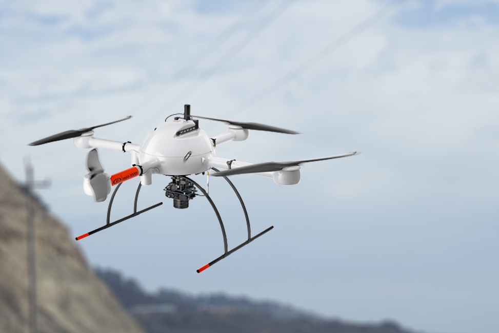
A Case Study
Think 3D and Applanix integrated the Stormbee multicopter with the Trimble AP15 board set and a Faro Focus 130 laser scanner, creating a DG UAV LiDAR solution for 3D Industrial Mapping applications – a system that delivers better than 5 cm accuracy (RMA) and high resolution.