The current explosion in the number of unmanned aerial systems (UAS) is due to a convergence of factors, including: their increased endurance, the reduced size and cost of sensors (especially LiDAR scanners, partly due to demand from the automotive industry), and new rules published in 2016 by the Federal Aviation Administration (FAA) that greatly lowered the barrier to entry in the field. Geospatial professionals were early adopters because UAS expanded their toolsets, as well as their access to locations that were previously very difficult and/or dangerous to reach. Additionally, the very low cost of purchasing, deploying, and maintaining a UAS compared to manned aerial platforms makes it possible to use UAS on a frequent – even daily – basis, to collect data for many projects for which such an aerial perspective was previously prohibitively expensive.
One particularly good use case for UAS is construction sites—to monitor progress, identify and mitigate potential hazards, and collect data for the future management of structures. In this architecture, engineering, and construction (AEC) context, several geospatial technologies and professions come into play:
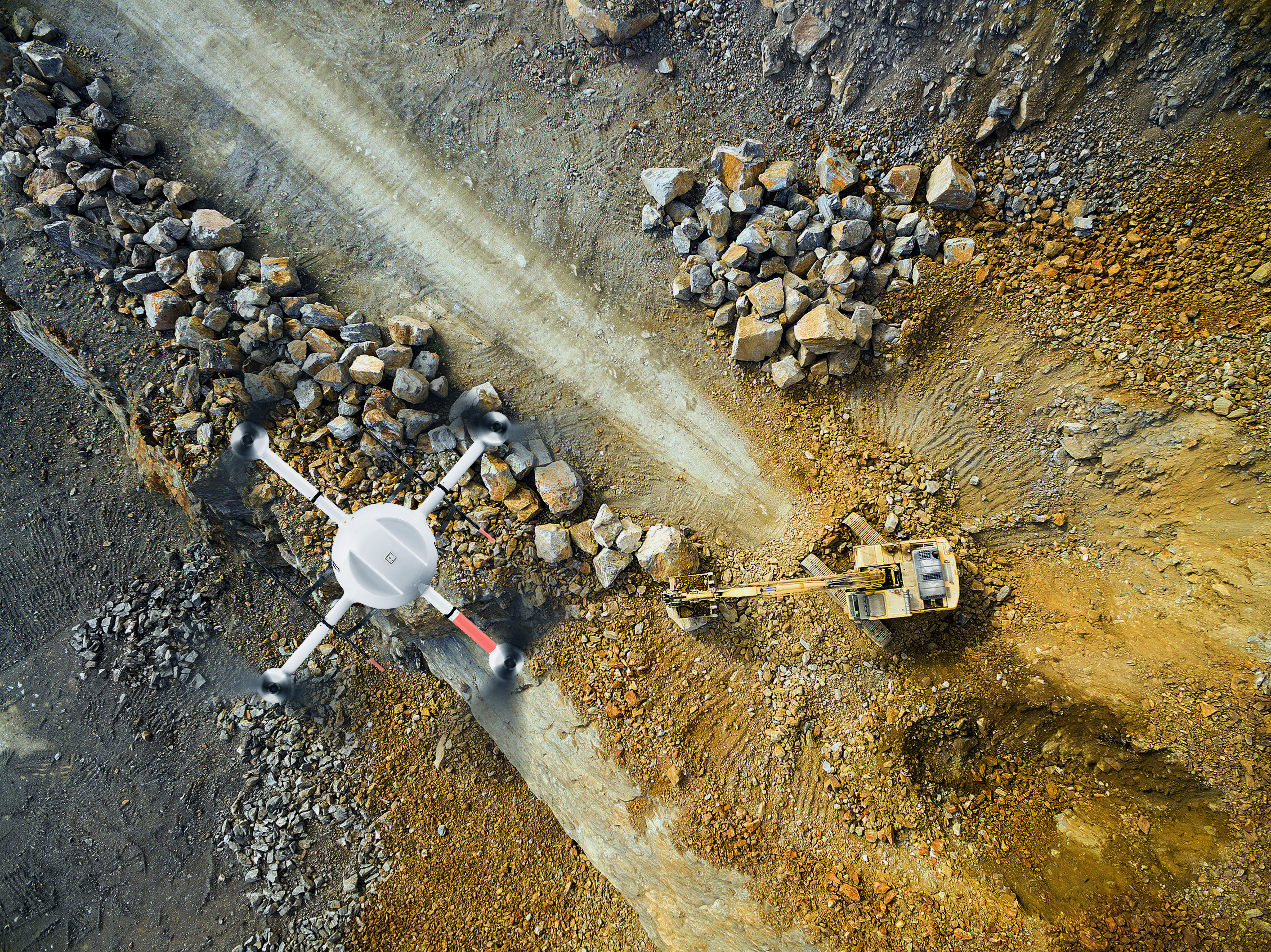
- UAS, as the mobile platform (one of the ways in which UAS help monitor and document construction is their ability to collect imagery with an unobstructed line of sight that could not be achieved from the ground due to scaffoldings and other temporary structures)
- digital cameras and LiDAR scanners, as the sensors
- real-time kinematic (RTK) GNSS receivers for navigation and, combined with inertial measurement units (IMUs), to georeference the collected data
- geographic information systems (GIS), computer-aided design (CAD), and building information models (BIM) to manage, visualize, and analyze the data and generate as-built models (the construction progress can be visualized via colour-coding the building elements in the 3D model).
Compared to the traditional, manual process of monitoring construction—which is time-consuming, labor-intensive, and error-prone—this combination of solutions enables construction firms to reduce costs, speed up their processes, and improve site safety.
BIM is an information-rich technology that integrates structural and mechanical systems, allowing users to virtually design and visualize a project, then monitor changes, use patterns, and energy use throughout its lifecycle. (While BIM is inherently 3D, it can be enhanced to 5D by integrating time and cost information.)
UAS improve BIM by enabling users to:
- conduct structural inspections, which are one of the most dangerous parts of the demolition and construction process, with increased safety
- carry out site inspections prior to the start of construction, thereby enabling planners and architects to create more accurate drawings and identify any potential construction challenges that may arise later
- take aerial photographs of the structure and scan it to create detailed 3D point clouds at every stage of construction, to incorporate in the BIM before completion of the outer shell, as well as to assist in investor relations and marketing
- monitor in real-time for compliance with safety rules and best practices and to identify and mitigate safety hazards (safety is of special concern for construction sites, which have a much higher risk of fatality, injury, or property damage than most workplaces)
- conduct final, post-completion inspections; this is where, in addition to cameras and LiDAR scanners, thermal imagers are also useful, to verify structural soundness and measure the finished building’s energy efficiency.