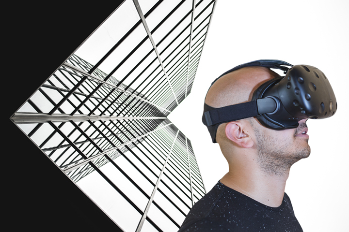
Physical reality used to be the only kind of reality. Now, there are four additional kinds. First, in the early 1960s, came holograms, 3D images formed by the interference of light beams from a laser or other coherent light source.1 Then came virtual reality (VR), an interactive 3D digital simulation of an environment, which we can navigate using special equipment, such as goggles with a screen inside and gloves fitted with sensors. VR helps people understand what is possible by combining, say, a 3D model of a downtown landscape with a 3D model of a proposed building. Applanix achieves this type of 3D geospatial view with its TIMMS solution for mapping and modelling interior spaces.
Next came augmented reality (AR), in which digital images and information are superimposed on our view of the world. Last, for now, came mixed reality (MR), which combines all these technologies. For example, a technician working on an air conditioner might superimpose information on it concerning when the filter was last changed (AR), and the drawing of a bracket designed to attach it to a particular window (VR). Or, first responders might overlay building schematics onto a real-time image of that building on fire, to locate rooms or fire escapes.
Virtual reality GIS (VRGIS), first developed in the 1990s, combines 3D stereoscopic VR with 3D GIS and Web GIS, creating a 3D model in a virtual environment, which users access via personal computers, mobile devices, and smart glasses. Recently, it has been greatly enhanced by developments in big data, cloud storage, broadband networks, AR, graphic processing units (GPUs), and the Internet of Things (IoT), enabling users to solve complex real-world problems.
In 2016, several large technology companies—including Google, Microsoft, Facebook, Samsung, and Sony—released immersive VR hardware, covering a wide range of prices and functionalities. Facebook’s Oculus Rift device has been coupled with Esri’s CityEngine software, which is used in urban planning and design, to produce a VRGIS solution for participatory urban planning. VRGIS enables users to interact with the system and get feedback from it using different sensing devices. Microsoft’s HoloLens wearable holographic computer achieves MR by combining see-through, high-definition lenses, a CPU, a GPU, a holographic processing unit (HPU), spatial sound, and sensors that map the physical environment.
The latest step in this evolution is holographic GIS. Unlike earlier versions, which were visible to the naked eye, GIS holograms require using a device. For example, one vendor says that its software enables users to use their phone, tablet, or holographic headset to “see” underground water pipes, sewage systems, and gas and electrical lines “as a natural extension of the real world.” Microsoft defines the holograms that HoloLens creates as “objects made of light and sound that appear in the world around you, just as if they [were] real objects. Holograms respond to our gaze, gestures, and voice commands, and can interact with real-world surfaces around you.” Holograms can be viewed by multiple users at the same time for virtual tours and to discuss scenarios.
Electric utilities have utilized holographic GIS to plan maintenance and repairs on high voltage transmission lines without having to visit the sites, thereby reducing costs and danger. Meemim Inc., a Toronto-based company, combined three commercially available technologies—Esri’s GIS, Microsoft’s Azure cloud-computing service, and Microsoft’s HoloLens—to create a spatial database and holographic capabilities for the Toms River Municipal Utilities Authority, in New Jersey. The system enables field teams to visualize GIS data using HoloLens headsets, “seeing” objects that are normally concealed, such as underground piping, cables located behind natural and artificial obstacles, or wires cutting through treetops. This expedites their work, makes it safer, and improves the accuracy of field data. The pipes are color coded and projected to scale. With slight movements or audio commands, fieldworkers can summon screens showing relevant information. The technology also allows them to connect with remote colleagues, such as engineers back at the office, who can see what they see through a Skype connection.
Holograms and MR spatial capabilities are also being incorporated into mobile games, blurring the line between professional and entertainment uses of this technology. In the near future, it is likely that these products will increasingly incorporate many of the analytical capabilities of advanced GIS, turning vector and raster data into holographic data.
Learn how Counties Power Ltd. in New Zealand developed a world’s first in technological innovation – the “Precision All Terrain Location – Ground Penetrating Radar,” or “PAL-GPR” system – by utilizing Applanix’ POS LV to lay a sub-surface network of ultra-fast fiber broadband internet.