Autonomy for machines exists on a spectrum, ranging from zero for a bicycle to 100 percent for a robot vacuum cleaner, which roams your home without need for any human intervention… except to empty it.
Perhaps the biggest and oldest debate about manned vs. unmanned missions concerns space exploration. (The late, great Stephen Hawking had a strong opinion on this topic: "Robotic missions are much cheaper [than manned ones] and may provide more scientific information, but they don't catch the public imagination in the same way, and they don't spread the human race into space, which I'm arguing should be our long-term strategy.”) However, it can be argued that the machine vs. human debate with regards to space missions was always misleading, because human beings on Earth direct robotic unmanned spacecraft and our rovers are in constant real-time communication with their masters at the Jet Propulsion Laboratory.
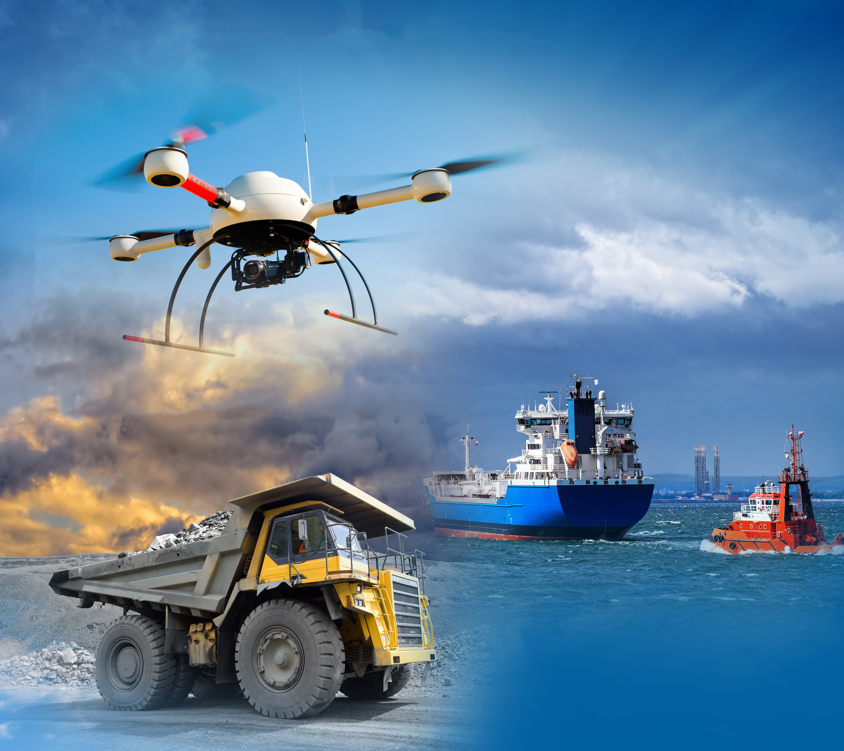
In geospatial circles, the debate has been mostly about the relative merits for remote sensing and photogrammetry of using manned aircraft or unmanned aerial systems (UAS). The latter have drastically lowered the barriers to entry for deploying sensors in the national airspace, enabling geospatial professionals to remotely-capture Earth observation imagery with lightweight sensors at a significantly lower cost to purchase, operate, and maintain than traditional manned aircraft. According to a survey by POB Magazine, the percentage of respondents who reported using UAS grew from 19 percent in 2015 to 38 percent in 2016.
As is often the case, the key variables in this debate are cost, time, and quality.
Cost
The cost of aerial imaging is typically measured in dollars per square mile. For manned surveys, this figure remains roughly steady regardless of the size of the area, because it is based on the hourly cost for fuel, crew pay, and aircraft amortization and maintenance. Additionally, manned surveys have a high initial mobilization cost, regardless of the size of the area to be surveyed. With UAS, on the other hand, the cost per square mile is greater for larger areas, due to the current endurance limitations of commercial UAS, which require operators to land them frequently to swap batteries, and due to legal requirements for line-of-sight operations. Additionally, the FAA currently prohibits flying UAS over people. At about 5 square miles, the cost curves currently cross, making manned aerial surveys more cost effective than unmanned ones.
Time
The flight planning that goes into a photogrammetry project is generally the same no matter what kind of aircraft is used. Currently, however, UAS sensor data is typically downloaded, processed, and made accessible in the cloud faster than data collected by manned aircraft.
Quality
Because UAS fly much lower than manned aircraft, their effective resolution (ground sample distance) is much better, providing more detailed imagery. Their lower flying altitude also allows them to fly underneath any cloud cover and collect cloud-free imagery even on overcast or cloudy days. However, mapping from a low altitude also has disadvantages. Flying at, say, 400ft with a wide-angle lens, the center of each captured images is at nadir—that is, directly beneath the aircraft—but the edge of the frame captures oblique views, such as building walls. During orthorectification, photogrammetry software attempts to transform these oblique views into nadir mapping data, turning the straight edges of gutters or rooflines into modern art. This is particularly problematic if the end use of the imagery is to digitize buildings, roads, walls, etc.
Future Trends
Of course, the quality of the sensors will continue to improve. If the endurance of UAS increases significantly and their commercial use beyond line of sight and over people are legalized, unmanned surveys of large areas will become feasible and cost-effective. Eventually, entirely autonomous systems may be permanently deployed on sites that require frequently refreshed data.