Photogrammetry using UAVs as the aerial platform has become a popular topic in Hong Kong over the last few years. AS Vision Limited has been heavily involved in aerial survey pilot projects from UAVs conducted in Hong Kong, in particular with projects by the Hong Kong government using fixed wing and rotary light UAVs.
SOLUTION
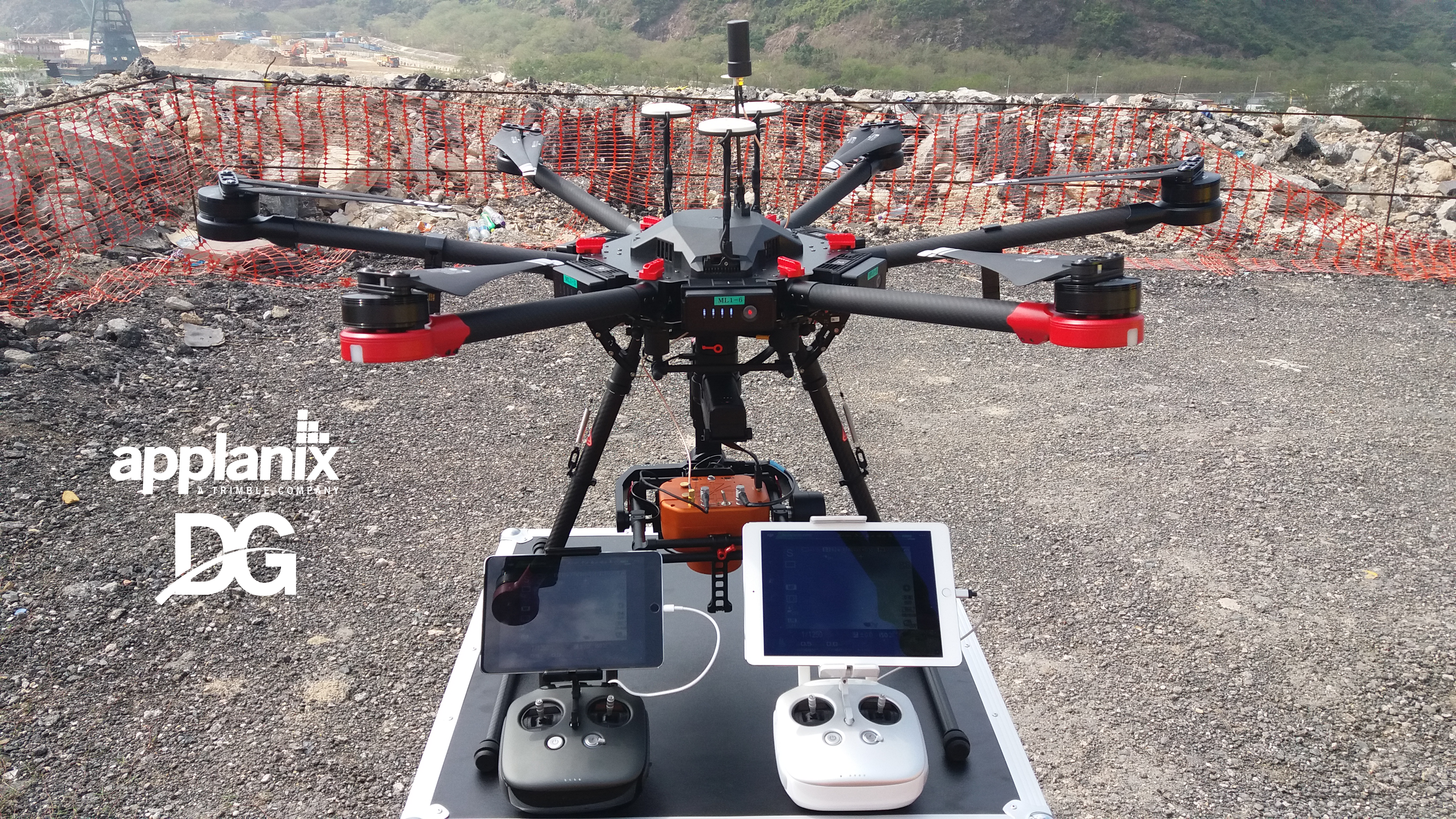
As a system integrator, AS Vision Limited is always looking for the optimal technology and workflow for accurate aerial surveying from UAVs, and Direct Georeferencing technology by Applanix is the perfect match.
The AMC SS (Single and Simple) camera from AS Vision is a fully calibrated mapping camera powered by Applanix APX-15 UAV GNSS-Inertial System. With a total weight less than 1Kg, the AMC SS features a 42 MegaPixel camera for low altitude applications using rotary and fixed wing aircraft. As a geometric calibrated camera, it is suitable for traditional photogrammetry projects up to 1:500 with minimum amount of Ground Control Points.
Featuring Direct Georeferencing technology, the AMC SS can:
- generate orthophotos rapidly in remote areas without
Ground Control Points - provide an optimal workflow in challenging
environments such as landslides - create 3D models for search and rescue and damage
assessments - create detailed information for hazard planning and
prevention
Turn Your UAV into a Professional-grade Mapping Solution with Direct Georeferencing from Applanix!
Applanix has brought together its decades of experience in multi-frequency, multi-constellation Differential GNSS and inertial-based positioning and orientation with the very best in small form-factor hardware and powerful software, to produce a DG solution for professional aerial mapping on UAVs:
- built for the unmanned aerial environment
- rugged, lightweight, powerful and high accuracy
ABOUT AS VISION
AS VISION Limited was established in Hong Kong SAR, China. The company’s main business is the development of multi-lens aerial cameras, providing a series of solutions including a traditional, oblique and UAV photogrammetry application with POS AV™.
- UAV solution: AMC SS, AMC DD (Near Infrared + RGB)
- Traditional platform: AMC Panoblique TM, AMC180
(built with Phase One)
ABOUT APPLANIX
Applanix, a Trimble Company (NASDAQ: TRMB), develops, manufactures, sells and supports products and solutions for mobile mapping and positioning.
Applanix’ products and solutions are used in a variety of applications, including road profiling, GIS data acquisition, aerial surveying and mapping, railroad track maintenance and seafloor mapping. Established in 1991, Applanix supports its growing global customer base with exceptional service.