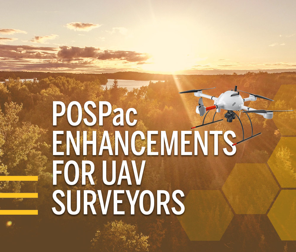
Applanix recently announced two significant enhancements included in the latest release of its POSPac post-processing software that greatly benefit the process of mapping or surveying with an Unmanned Aerial Vehicle (UAV). The announcements were made on September 17th at INTERGEO 2019, the world’s largest conference on geodesy, geoinformatics, and land management.
The first software enhancement adds UAV support for POSPac Trimble Post-Processed CenterPoint® RTX™ correction services (or POSPac PP-RTX) when flying within the Trimble RTX™ Fast service regions. This subscription-based service generates highly accurate geospatial data within centimeter-level accuracy, while freeing surveyors from the constraints of erecting base stations or waiting on CORS network data. Minimal initialization times and expedient data output makes POSPac PP-RTX an ideal choice for short duration trajectories flown with a UAV.
The update also introduced LiDAR Quality Control (LiDAR QC) Tools for UAVs, a new software module specifically designed to refine the accuracy of LiDAR point cloud data collected with UAVs using: Inertial Measurement Unit (IMU) boresight calibration and trajectory adjustment. These two new functions guarantee higher accuracy and higher quality results, while streamlining project set-up and in-field processes in a simple and cost-effective manner. Any project’s workflow can easily be augmented to include either functionality by using POSPac’s convenient GUI, or through its quick batch-processing mode.
Both software enhancements aim to simplify surveying logistics and lower project costs through task automation, without having to sacrifice high-level accuracy. Applanix’ latest POSPac release – and combined solution with the Trimble APX board sets – directly meets the challenge posed by a UAV’s short flight endurance: to collect, manage, and process all types of complex data in a short span of time, with a reduction in invested manpower.
The result affords surveyors the flexibility to meet multiple project objectives in a variety of applications – as proven by the growing demand for drones in emerging industries, such as agriculture, emergency response, and construction. When done effectively, surveying with a UAV can replace some of the world’s most difficult or demanding jobs, which pose occupational health and safety risks; it is part of a more holistic approach to creating sustainable solutions that help improve our communities’ quality of life.
|
To learn more about POSPac Trimble Post-Processed CenterPoint® RTX™: |
To learn more about POSPac's LiDAR Quality Control Tools: |
View POSPac PP-RTX Press Release |
View LiDAR QC Tools Press Release |